
I found this KMZ file the other night. It’s really the greatest Google Earth file I’ve ever seen.
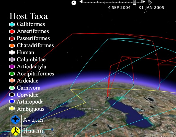
It’s tracking bird flu but it’s doing it through, time, space and evolution. It creates a three dimensional representation of the changing aspects of the virus as it moves from carrier to carrier and place to place.
There’s a video showing what it can do and explaining things here.
Why am I so impressed? Mainly because it’s a perfect representation of data visualization. It shows a completely different way to use Google Earth. Who would have thought to use a geography program to track the evolution of a virus?
This kind of convergence is amazing and examples like this can lead to some amazing connections. It can also lead the way for other creators to start using this application in different ways.