
I am still feeling my way around using Google Earth in the classroom. I want to make it more than a 3d worksheet.
I think the key is making the students responsible for creating the files but I think in order to do that they need examples and exposure the program and how to use it on a more basic level.
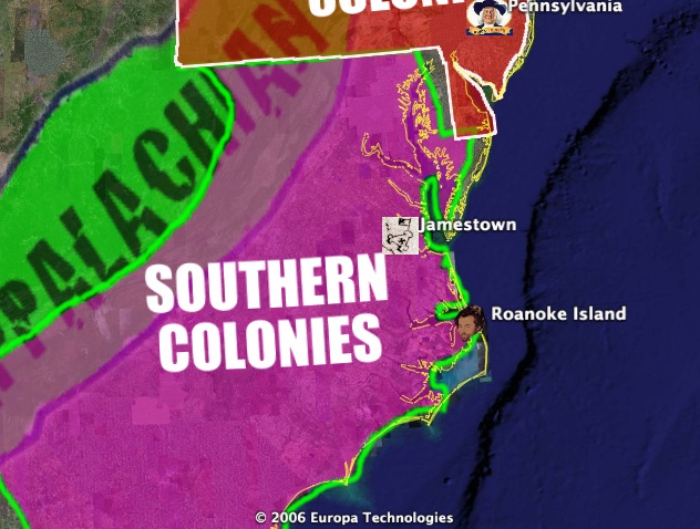
That is what this file is supposed to provide. This KMZ file covers SOLs USI 5 (for you non-Virginians that’s the early colonies in North America and some of their climate/economy/settlement rationales/religion).
Download the file here.
In the end I’d like to see students using it as an interactive hyper-linked notebook. If the teacher gave them a KMZ file at the start of the year and it was divided into folders based on SOLs then that’d get the organization started and the students could be responsible for adding the place marks, additional information and links out to relevant websites.
I would like an internal search feature that scanned the info window text (which should be easy for Google) and I think it’d be a complete package for certain content.
One thought on “Google Earth File on the Colonies”
Comments are closed.