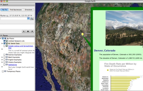
First, go try it out if you want. Submit something. It’ll help it make more sense. I thought this would be a lot easier than I made it. I tried lots of paths and considered spending various amounts of money to make this easier. Please benefit (probably) from my wandering. I try to link in […]
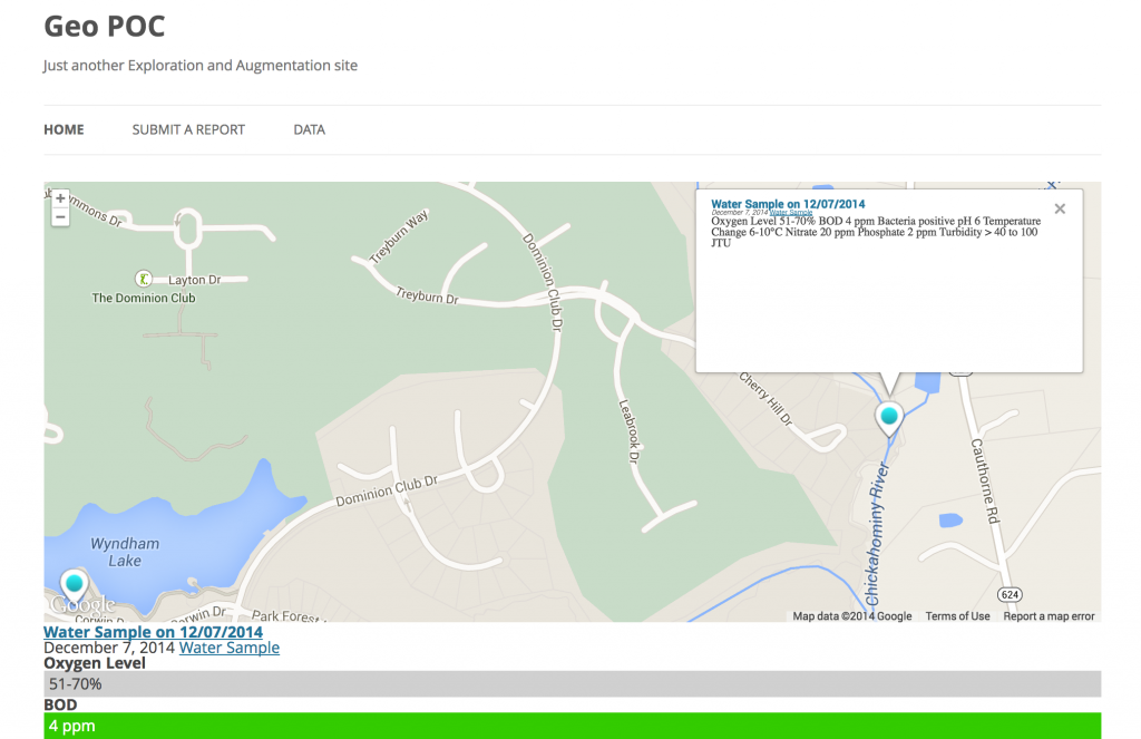
Geo Tagging WordPress