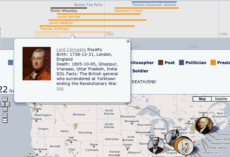
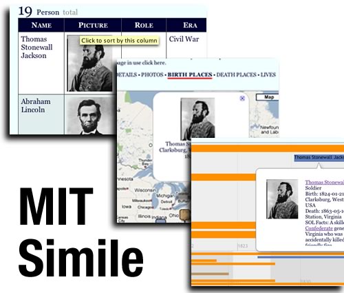
Image taken from page 12 of ‘Guide to Cambridge: the town, university and colleges … To which are added, notes upon the villages within ten miles, a map, etc’ flickr photo by The British Library shared with no copyright restriction (Flickr Commons) This is more playing with Martin‘s TAGs in Google Script and then moving […]
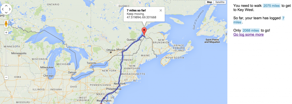
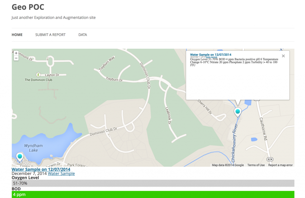
Google Script, Twitter API & Google Maps